
Getting There: Take the Fish Creek Exit on I-90 and proceed up Fish Creek Road #343, for approximately 16 miles and turn right on Surveyor Creek Road #7734 for 12 miles to the Schley Mountain Trailhead. This is a rough 12 miles, especially the portion past the Surveyor Lake trailhead at 8.5 miles. The Schley Mountain Trailhead has several places to camp and park along with a vault toilet. This trailhead and campground are dry, so bring plenty of water if camping. This is not the actual end of the road. The gate is only open from when the snow is off until August 31; the gate is not open over Labor Day weekend.
 The road behind the gate is designated by the Forest Service as a non-maintained road. The Forest Service does not maintain or brush out this road. If you are the first one through the gate in the summer, then expect to saw out the downed trees from the winter storms if you want to drive the 3 miles to the end of the road and the old trailhead. The road is pretty good until you reach the 2 switchbacks, and the road gets decidedly worse from there for the last mile. Pullouts are a bit scarce so someone may have to back up a way when meeting another vehicle. The trailhead has plenty of room for parking and several camping sites; the ridge trail from Schley Mountain connects back to the road. The road continues beyond the gate.
 Hike this road, bearing left and up after 1/3 mile; the stateline and trail number #738 is about 1 mile from the trailhead. Once on the stateline stay on the main road / trail that heads north with great views of the Kelly Creek drainage with Shale Mountain and Rhodes Peak in the background. The road / trail will split again at the 2-mile mark with the right fork continuing to the South (Big) Cedar Log Lake and the left down to Kid Lake in a 1/2 mile.
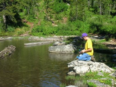
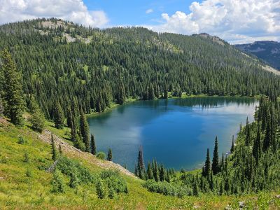
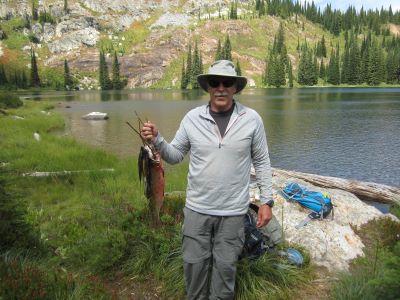
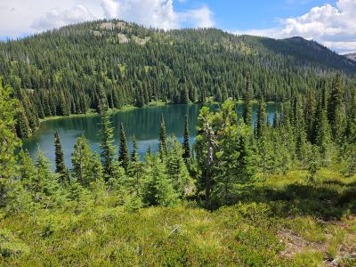
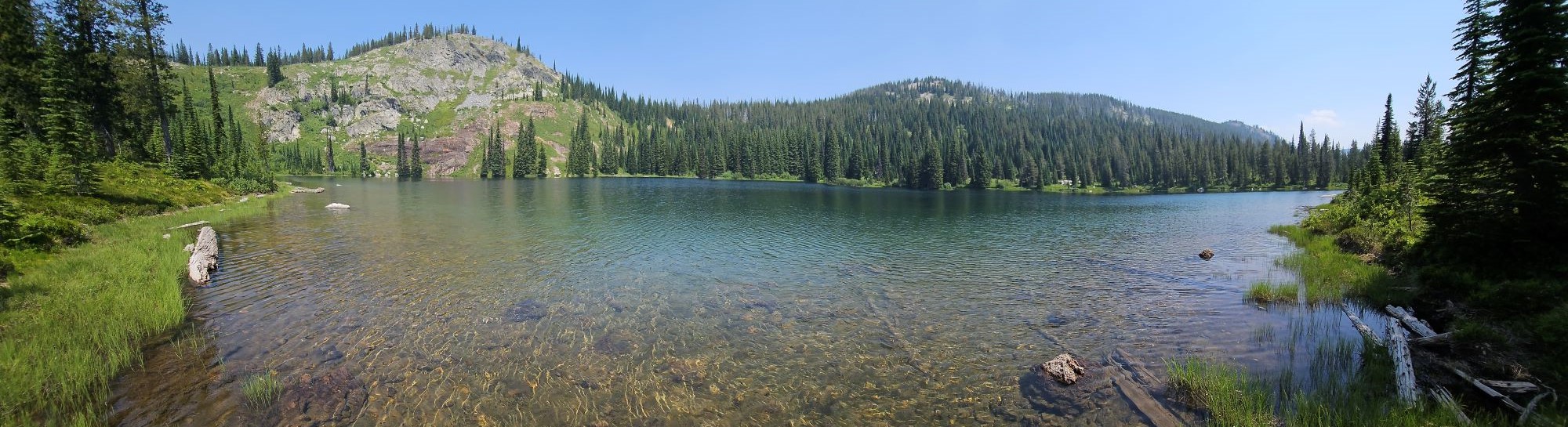
At the Lake: Kid Lake is an average sized lake for the region and fishing can be good at times but like all the lakes along the stateline fishing can be hit and miss. I have caught a couple of 14-inch cutthroats out of the lake over the years, but most are around 12 inches. There are several good campsites on either side of the lake. I have found the campsite on the right side of the lake to have more shade but tends to have more bugs due to the added shelter. Since this lake is in Idaho and the main access is from Montana it doesn’t get as much visitation as the Cedar Log Lakes.
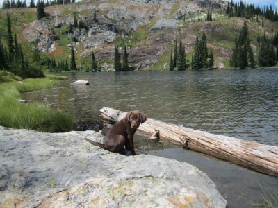
This was Skye's first lake. She did pretty well but finally just laid down in the trail and went to sleep; then got a ride in the pack the rest of the walk.