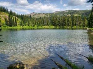
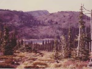
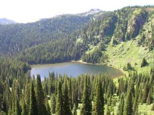
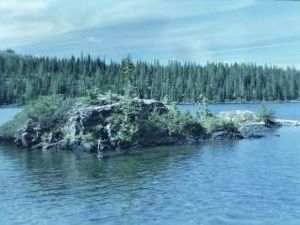
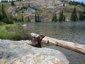
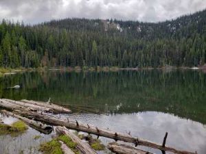
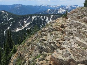
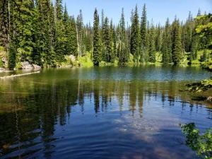
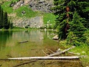
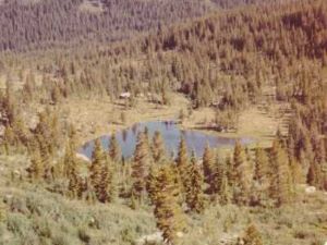
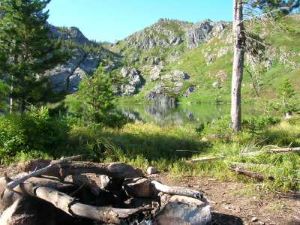
The southern most area of the Great Burn has a variety of lakes to be visited. More than half the lakes do not have fish but are attractive for their unique characteristics and remoteness. For the lakes that do contain fish, they are excellent. This area contains the most cross-country travel and marginal trails of the 7 areas. This area has not had the tree and brush regrowth from the 1910 Burn as the areas north, so the cross-country travel is doable but still hard. I wouldn't say water is abundant along the routes, but it is adequate for most days; but shade can be sparse. Schley Mountain, Admiral & Rhodes Peak and Shale Mountain are all worthwhile peaks to summit, with Shale Mountain being the most difficult. For the most part, these are all "out n back" trips unless completing a loop from the Clearwater Crossing area. I include Williams and Goat Lakes in my list. I am still hopeful to reach these lakes from the Cache Creek drainage, but that route would be a tough cross-country venture without a usable trail from the Middle Cache Lake to connect to the trail from Rhodes Peak. I may have to access these lakes via the Blacklead Mountain trailhead, from the Hwy 12 side.