Getting There: Take the Fish Creek Exit on I-90 and proceed up Fish Creek Road #343, for approximately 16 miles and turn right on Surveyor Creek Road #7734 for 12 miles to the Schley Mountain Trailhead. This is a rough 12 miles, especially the portion past the Surveyor Lake trailhead at 8.5 miles. The Schley Mountain Trailhead has several places to camp and park along with a vault toilet. This trailhead and campground are dry, so bring plenty of water if camping. This is not the actual end of the road.
The gate is only open from when the snow is off until August 31; the gate is not open over Labor Day weekend. The road behind the gate is designated by the Forest Service as a non-maintained road. The Forest Service does not maintain or brush out this road.
From the Schley Mountain Saddle head up the hill on trail #110, which is directly across the road from the campground. This is an old road that used to be drivable to the summit when I was a kid. Near the top, trail #110 will split to the right and down the ridge as the old road continues to the left and the summit. Trail #110 follows the ridge and re-connects with the road 1/4 mile from the far trailhead. Follow the old road left around the hillside to the summit; it is getting grown in for lack of maintenance.
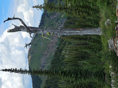
On the Summit: The summit is rocky and treeless for the most part. This is the easiest summit of the 7,000 plus footers in the region with just a 500 foot climb over .75 miles. The vista from the summit is a spectacular 360 degree sweeping view. It is very worthwhile taking the short hike to the top. The entire state line and beyond from Crater Mountain to the North to Granite Peak south towards Lolo Pass is visible. Schley Lake sits directly over 1,100 feet below the summit. Make sure to bring a good Forest Service or Great Burn map and binoculars for checking out the other summits and lakes that are visible.