Getting There:  Take the exit atop Lookout Pass and head to the ski area. Hang a hard left, almost a U-turn, near the maintenance area on the old Northern Pacific Railroad grade. Head down the grade for a little over 2 miles. There is a nice place to park and a sign to the lake, well in 2024 the sign has been taken.
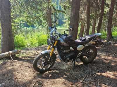
You may also take the old US 10 highway that takes off directly from the interchange, but you will have to climb up a marginal road to get to the railroad grade near the chair 2 road. Be careful on this road as there are several little sink holes that could bust a tire. The trail (#265) is an old mining road that is drivable with a SxS, motorcycle or E-bike. The road climbs steadily past an old mine tailings pile and eventually to the lake at about the 1.25-mile marker.
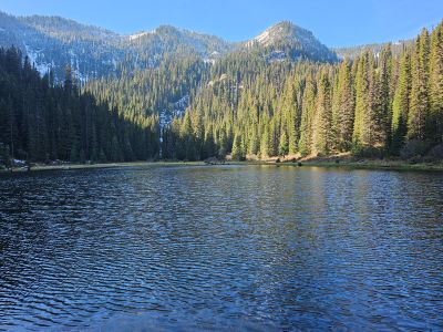
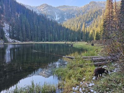
At the Lake: The lake itself is not much more than a pond; there might be a place or two more than 8 feet deep. A lot of the lake shore is swampy, especially early in the summer. There are some small fish available, but not big enough to keep. There is a good camping site just off the road that is a bit beat up as people can drive in. There is an additional small site on the other side of the outlet.