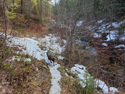
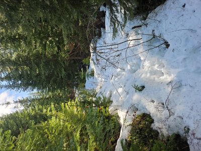
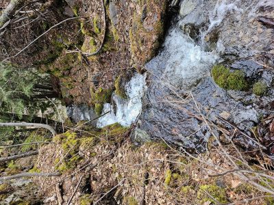
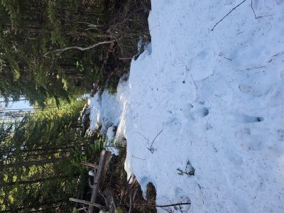
Skye & I planned on hiking as far as possible up Flat Rock Creek, trail #259, on Wednesday. Flat Rock Creek is about 1.5 miles up 12-Mile Road from the Cabin City Campground over in Montana. I really expected to get around 3 miles or more up the trail as it starts at 3245 feet but there was enough snow at 3500 feet to make hiking a real chore, post-holing every step. The trail itself looks to be very well maintained as it has been brushed out in the past year or so. Something to go back to in a few weeks.
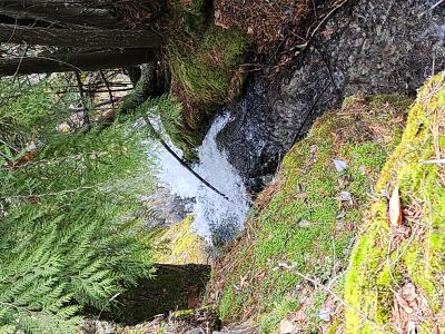
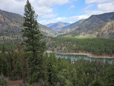
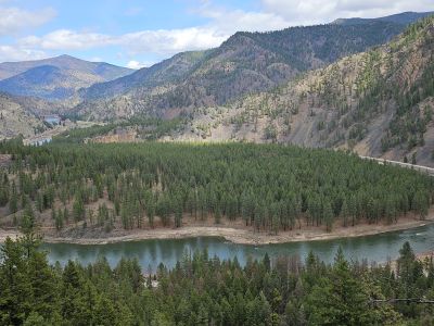
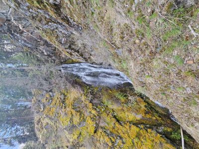
Since we already had driven over Lookout, I decided to go to Cascade Falls up the Cut-off Road (Hwy 135) out of St Regis. The hike from the Cascade Creek Campground to the Falls is 1.5 miles with a 450 foot elevation gain on the old Iron Mountain Road / Trail. The Forest Service is adding a new trailhead parking area and has built a new trail from the new trailhead to the trail coming out of the campground. There is very little parking in the campground outside of the campsites and this will alleviate that problem. I also found that the official name to the new connector trail from Ferry Landing to the Iron Mountain Trail is "Falls Flat Trail". As of yet there is no signage or number for the trail, I will update the St. Regis River Trail descriptions for the new name. The view from the falls of the Clark Fork River valley and up to Quinns Hot Springs is always nice.
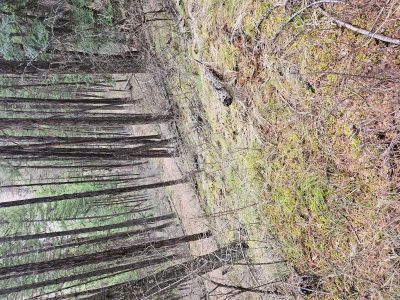
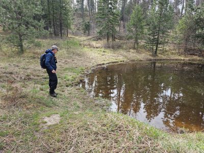
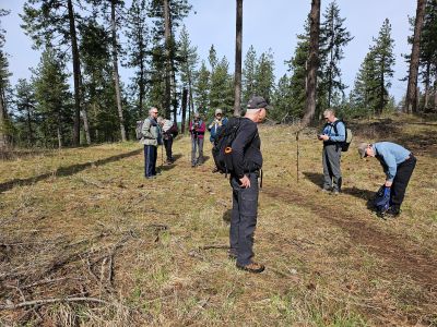
On Thursday morning I met up with a hiking group out of Coeur d'Alene that hikes every Thursday. We went out the Blue Creek Bay Trail that is part of the Wallace Forest Conservation Area. The trailhead is on the east side of Blue Creek Bay. We hiked about 5.25 miles in total for the morning.