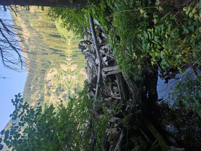
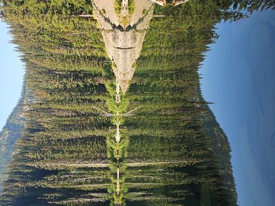
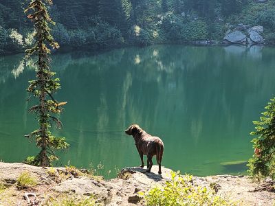
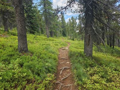
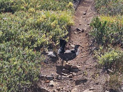
Cascade Pass Area: Kathy, Skye & I took the trailer up to the Missoula Lake Campground below Cascade Pass outside of Superior, Mt for 6 days (Weds-Mon) over Labor Day Weekend. Kathy doesn't hike as much as I do and is okay with staying put and unplugging from work; no cell service. It rained Wed night, most of Thursday and Fri afternoon; but Sat, Sun, Mon were outstanding. Ended up climbing 2 peaks in the area; visiting several lakes and getting caught on the stateline ridge during Fridays thunderstorm. In the 4 days I hiked, I only saw 1 other person on the trail; not including the trail to Missoula Lake as it is a popular lake. All told, I climbed 2 peaks and visited 4 lakes over a total of 21.75 miles.
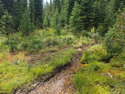
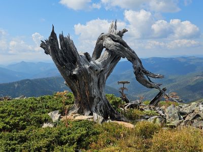
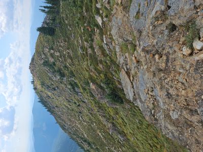
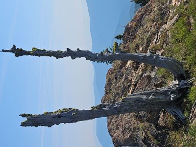
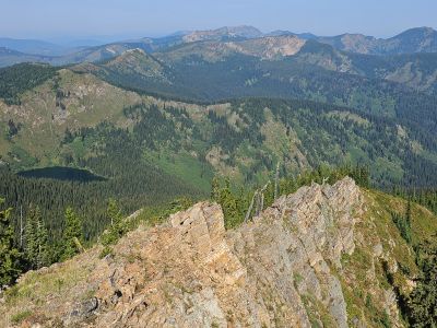
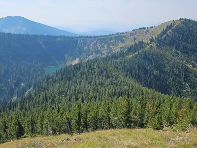
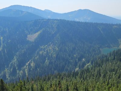
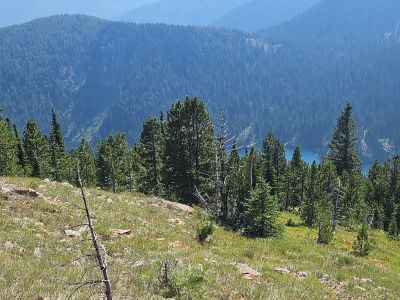
Binocular Peak: The weather cleared on Friday morning and I headed out for Binocular Peak with the goal to hike down the north ridge and connect with the stateline trail above Heart Lake (Dry Creek). The brush was still wet for most of the day, so I had wet boots from the get go. I made good time all the way along the trail past the Bonanza Lakes to my take off point and found some good game trails up the ridge to the summit, a little more than 2 hours from the TH. I did this peak last fall I was defintely in better shape now. I walked down the long south ridge and got some excellent pictures of Frog Lake and a great gnarly old tree stump left over from the 1910 fire. I hiked back to the summit and down the north ridge. I did miss a trail that would have made the descent easier. I ended up getting to the stateline trail and the weather was starting to turn to the worse. I hiked back on the stateline trail past Frog Lake and the water stop (only easy water between Dry Creek and Cascade Pass) with some urgency as thunderclouds were off to the side some. I got back to the spot I left the stateline trail to the peak and there was thunder off in the distance, until it wasn't.
Lightning struck on the ridge above me to my left, close enough that the flash and crack were simultaneous, talk about getting your attention. I headed out fast and a couple minutes later it struck again with the same closeness only to my right. I am now in the middle of it and for those familar with the stateline above the Bonanzas you know that the trail runs directly on the top of the ridge for about a mile and there is no place to hide. I briefly considered ditching my metal hiking poles but needed them to keep my pace up. I made it to the saddle where the trail from the Bonanza Lake connects and the stateline trail comes off the ridge and stays along the hillside for an easy 1.5 mile hike to Cascade Pass. At that point the sky opened up and it just poured rain with hail. I got my rain jacket and pack cover on and kept going. The stateline trail became the stateline creek and I marched 1.5 miles in the creek with many places being over my boot tops. The rain paused enough when I got back to camp to take a quick outside shower to wash off the sweat and dirt. It then poured and hailed again for several hours; a memorable day.
.jpg)


Stateline Trail South: On Saturday, Kathy & I and Skye hiked south along the stateline trail towards Illinois Peak. We hiked as far as her foot/ankle would allow, about 2 miles before turning back. It was a beautiful day and wish we could have gone farther but it wasn't in the cards.
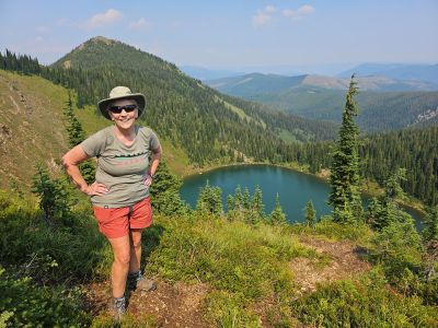
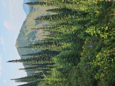
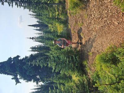
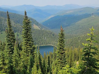
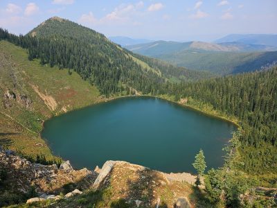
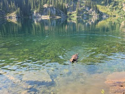
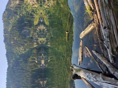
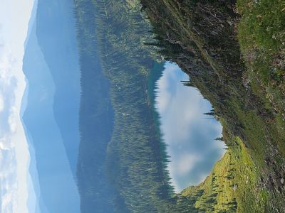
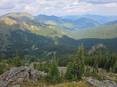
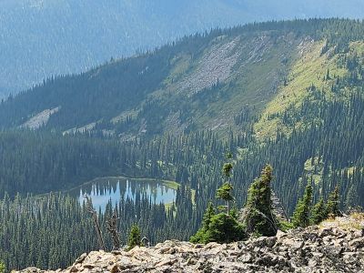
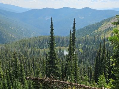
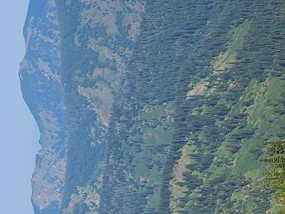
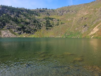
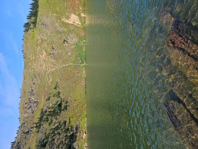
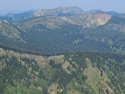
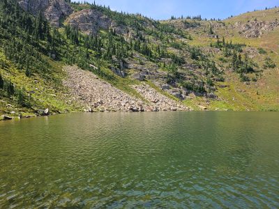
Oregon Peak & Upper Oregon Lake: On Sunday I headed out of camp and up the basin to the low saddle above the Upper Oregon Lake. The trail over the saddle to the lake is still managable but could use some TLC and cut out some small trees. I know... it keeps the riff raff out. Once at the saddle I made a left and headed up the ridge to the summit of Oregon Peak. This ended up being an easy peak to summit, only 1.5 hours from the camp trailer. There is a 360 degree unobstructed view from the summit. The view to the north is great with Missoula Lake below, Binocular and Lost Peaks in the distance and Eagle Cliff Peak in the far distance. You can almost look into the Upper Bonanza Lake, but not quite. The view south can be equally good but with the sun angle and smoke that day it was not as clear. You can see all three Oregon Lakes, but not nearly as well as the high point across the way to the west. I stayed over 30 minutes and then headed back down to the saddle and then down to the Upper Oregon Lake with the goal to have lunch there. I went left around the lake to a small rocky peninsula for lunch, this lake never disappoints. I got back to camp around 1:30 and caught up with Kathy & Skye at Missoula Lake for an afternoon swim.
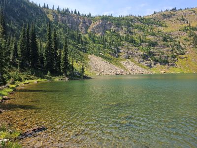
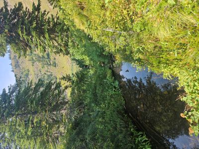
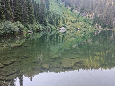
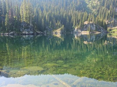
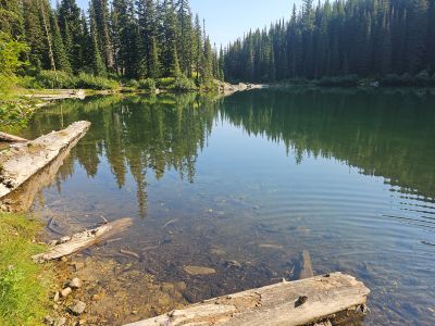
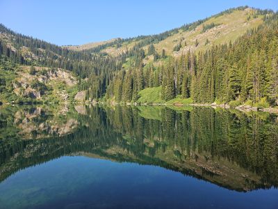
Lower & Middle Oregon Lakes: We were leaving on Monday but not until later in the afternoon so Skye and I headed down in the morning to the lower Oregon Lakes trailhead for a hike into the Lower & Middle Lakes. We were early enough to get a great morning sun on the calm lakes for some outstanding pictures. We stayed a while at each lake and ended up back at camp for lunch, meeting an older gentleman at the lower lake.