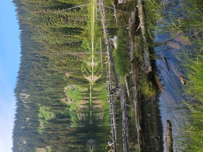
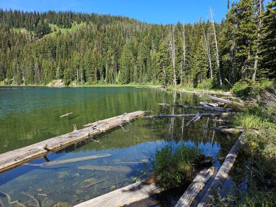
Clearwater Crossing & Surveyor Lake: On Tuesday, July 29th, Kathy and I took the trailer over to the Clearwater Crossing up Fish Creek and joined my brother and his wife with their trailer. The next day we had plans to fish Surveyor Lake and hike to the summit of Schley Mountain. Surveyor Lake is an easy 1/2 mile hike from the road. In general, the lake is always very buggy but not that day; it was quite pleasant. None of us caught fish which is not surprising as the fish can be finicky. On the way out, Skye's arthitis started acting up so Kathy and I did not go to Schley Mountain and instead headed back to camp. Kelly's childhood friend Rich Gould and his wife stopped by that afternoon and had dinner with all of us. Rich (doctor from Butte) is a recent addition to the board of the Great Burn Conservation Alliance. He was part of our group back when we were 14 years old to do a multiple day backpacking trip along the stateline without adults. That's right, our parents just dropped the 4 of us off at the trailhead and left. Kelly and Suzy left on Thursday morning to go back to Superior for the fair and rodeo. That evening (Thursday) is rained for about 5 hours.


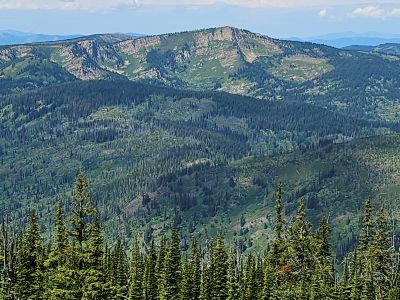
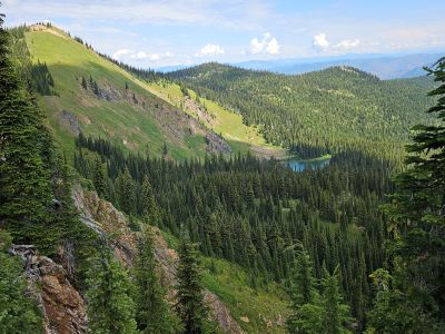
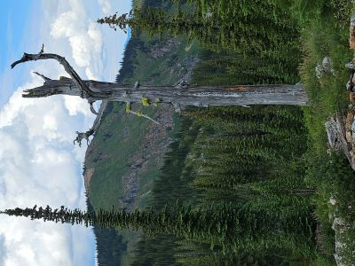
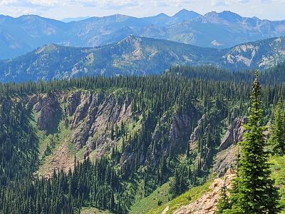
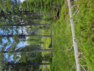
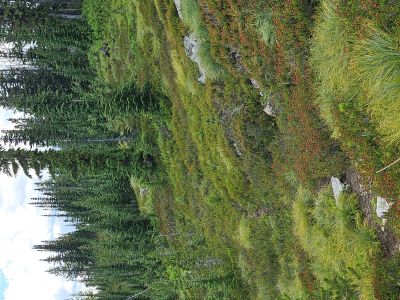
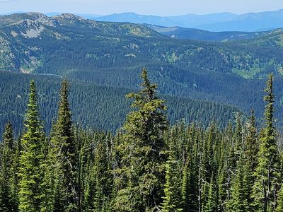
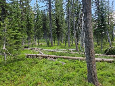
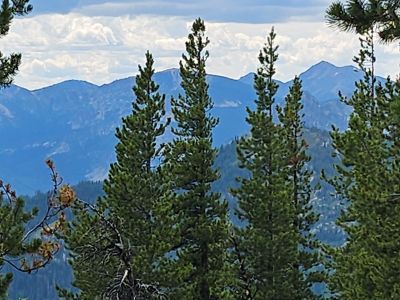
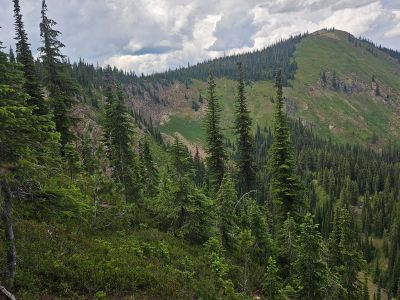
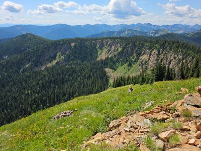
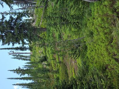
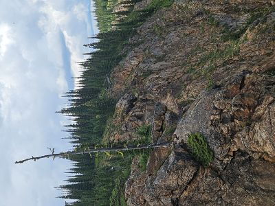
Schley Mountain & more: On Friday I went alone to hike Schley Mountain and to explore a ridgeline down toward O'Neil Creek Lake and hoped to get some pictures of Cache and Pebble Creeks from a high point along the way. I hiked to the top of Schley Mountain, this time with no snow. I posted extensively about Schley Mountain back in Early June so not much about that. I took trail #110 that heads from Schley saddle over to the far trailhead until I came to the ridge I needed to take and left the trail there. I was hoping to find a game trail or two down the ridge and I did, although they were sporatic. The going was easy with no brush higher than my knees and tehe grades gentle. I made it down to the high point and 20 years ago there would have been great pictures to be had, but you know those pesky tree grow and obscure great views. I had just sat down for lunch and the thunder clouds came rolling in. I quickly ate and packed up. I pushed hard and made it back to the truck in 1 hour but got caught in the rain for the last 15 minutes. Although it was disappointing for the Pebble and Cache Creek pictures, I got some good pictures of Schley Mountain and Schley Lake from a very different angle. I also found the ridgeline route to be realitively easy compared to other off trail routes I have done. I rained off and on that evening and rained hard for an hour in the morning.