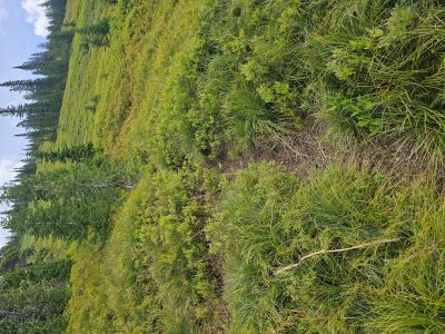
Lost Peak: On Monday, June 16th I went up to the Lost Creek Meadows outside of Superior with the intent to climb Lost Peak from Lost Creek. I scoped this route out a couple weeks ago when I was up Lost Creek on another hike. The route was straight up to the double saddle on the West ridge of the peak through the basin below. Last fall I hiked to this double saddle from Cascade Pass, but didn't climb the peak. I hiked up trail #112 from the meadows for about 2.75 miles, this is the point where you break out of the trees and the trail continues to the left up towards Lost Lake.
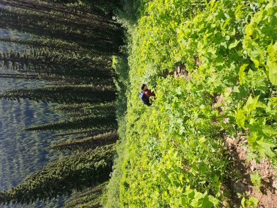
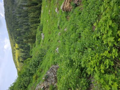
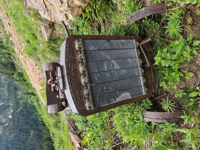
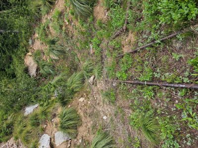
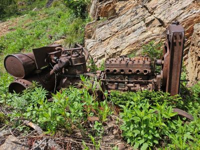
From the taking off point, I stayed to the left and took the best route available. About 1/3 of the way to the saddle, I noticed what looked like a "tailings pile" up to my left. There is an old mining site with several pieces of rail, an ore cart and the remains of an air compressor. I stayed for a few, then it was back up the hill. I crossed over to the right side of the basin and encountered a decent game trail. This trail will take you all the way to the right saddle; however the trail goes straight up the hill with little to no relief. There were places where I had to use both trekking poles at the same time to pull & push my way up. Make sure to use this trail on the way down.
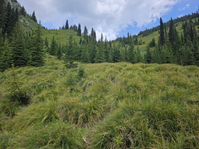
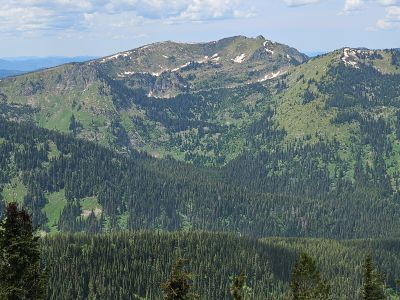
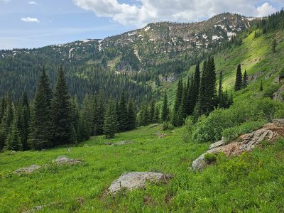
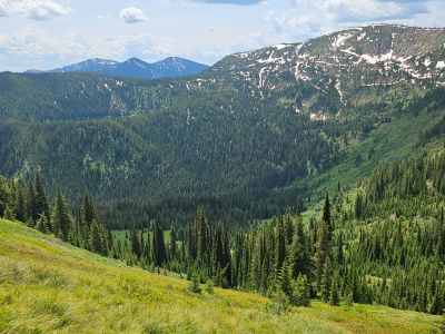
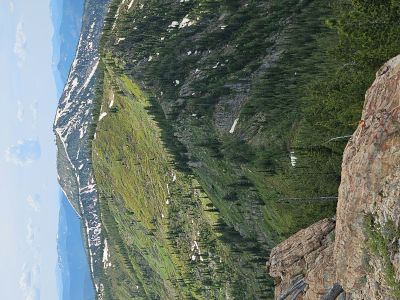
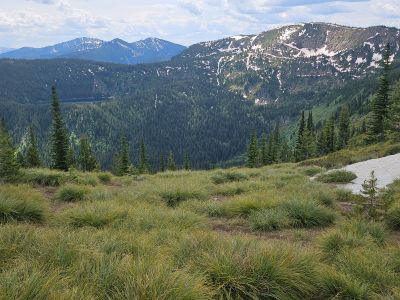
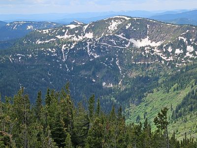
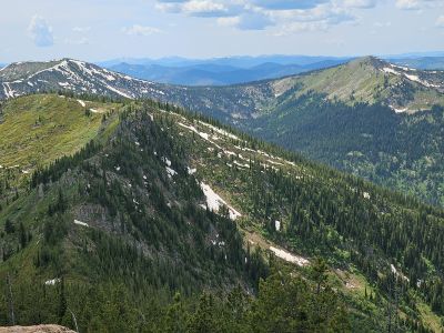
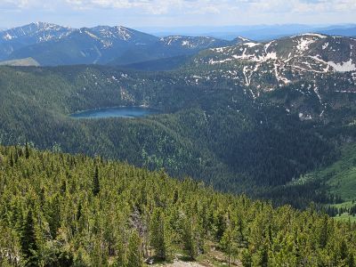
The saddle provides some outstanding views over into the Dry Creek drainage and Eagle Cliff Peak to the North. To the south the views are equally as good. It is another 600 feet through the trees with no trail to the summit so take a good break here. There is a primitive trail that starts up the ridge but soon disappears. Do not drift to far to the right, I recommend staying left center as there are a couple rock outcrops on the left edge of the ridge as you near the summit that provide better views of Dry Creek and North than the summit. The climb is good as there isn't much brush and it's not too steep.
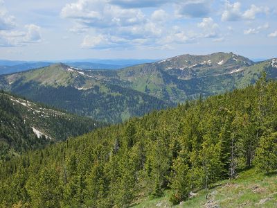
The summit is just a small rocky mound; there is no registrar or benchmark. There are trees that block most views and it is better to go off the summit a bit for better pictures. It took me a total of 4.5 hours from the trailhead to summit with breaks; good for 66 yrs old with around 1600 feet gain over the last 1.25 miles. And over 3 hours back to the trailhead, getting back to the main Lost Creek trail is not quick. The weather was good, I didn't see any wildlife and just 2 people at the trailhead.


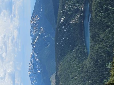
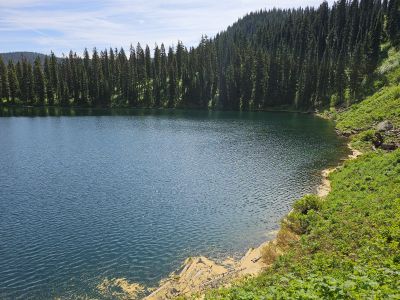
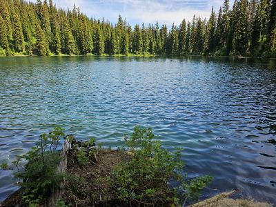
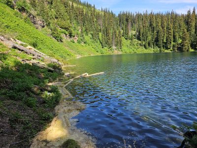
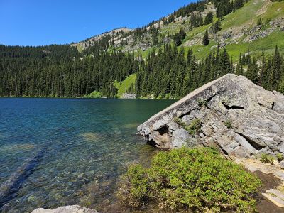
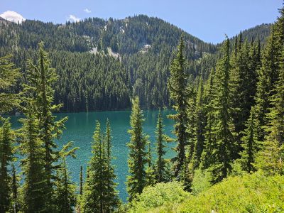
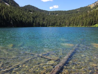
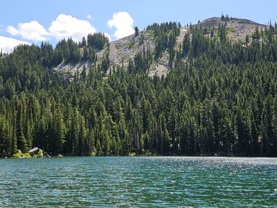
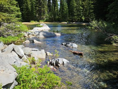
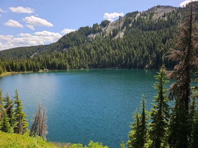
Revett Lake: After the tough hike to Lost Peak on Monday, I took a recovery hike with Skye to Revett Lake off of Thompson Pass on Wednesday. I met 3 parties on the way in that were leaving so I had the lake to myself for my time there. On the way out I met 3 parties coming in; 2 of 3 were backpacking in. It was a nice day at the lake, it was a bit windy but that kept the bugs at bay. The lake level was still up a couple feet so the shoreline and outlet areas were difficult to navigate.
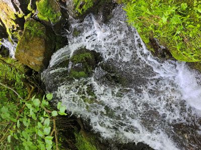
Heart Lake (Big Cr): My brother Kelly wanted to do something on Thursday, so I headed over to Montana and met him at Haugan to go to Heart Lake up Big Creek. This is a short hike of less than 1 mile but most of the route is very steep and straight up the hill. The trail hugs the outlet stream so there are sections that are always slick for the way down. There is also a lot of loose rock that will put you on your butt fast. I have never seen anyone else at this lake over the years, but we met Ed Neville and a friend of his there. I fished the entire lake but only got 1 bite and saw just 1 fish cruising the shoreline; a far cry from last fall's great catch. This was the first time I have been skunked, but also the earliest of the year I have been into the lake. We did have a Bald Eagle circle the lake above us while we were there.