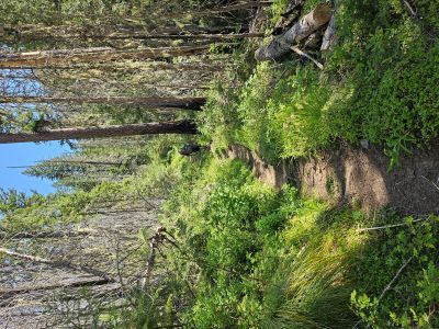
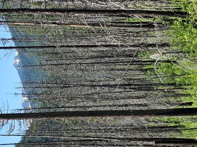
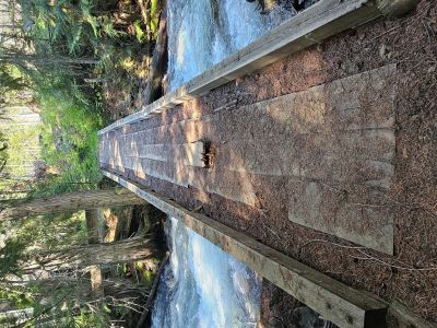
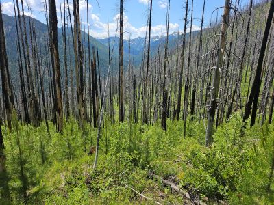
Cedar Peak: On Monday, June 9th I went over to the Clearwater Crossing up Fish Creek, joining my brother Kelly and his wife Suzie at the campground for a couple days. The next day Kelly and I hiked up the West Fork of Fish Creek. Suzie did a shorter hike on her own later in the day. My goal was the top of Cedar Peak to see how much of the blowdowns had been removed, I hear it was quite substantial with an original count of over 400 trees. Kelly was going up to Indian Creek which is a mile past where I started up the hill. The trail up is steep with more than 30 switchbacks and no shade as it all goes through an old fire. The only shade available was standing by old burnt snags. I made it to switchback #20 and almost 2000 feet before I had enough and headed back down, it was really hot. The trail is actually in good shape with just a few trees down from the winter; I never made it to the end of the clearing work.

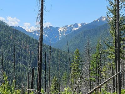
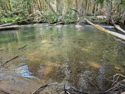


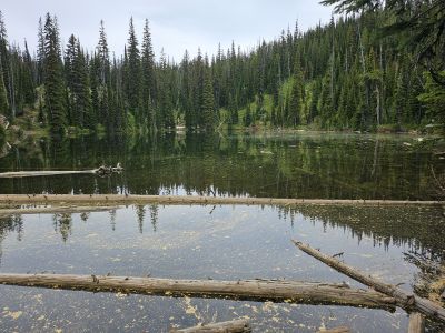
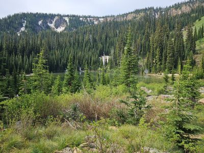
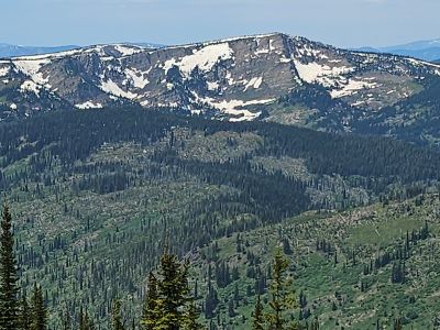
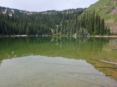
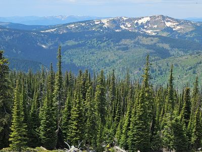
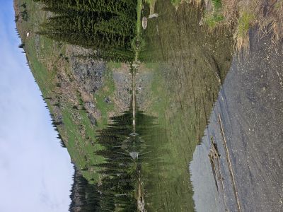
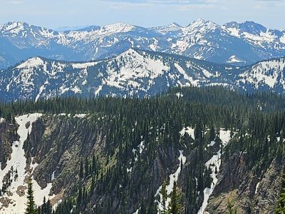
Schley Mountain & Lake: After the brutally hot hike to Cedar Peak the day before, I decided to take it easy and go up to Schley Mountain and then fish Surveyor Lake. However on a whim, I went down to Schley Lake, passing by N. Montana Lake, at the base of Schley Mountain; 500+ steep and brushy feet below Schley Saddle. So not a recovery day. The last time I went down to the lake was in 2021. It was a fairly easy hike down, staying close to the outlet stream from N. Montana Lake. I took a few pictures and wandered around the shoreline a bit which was very swampy in places then headed back up the hill. Once back at the saddle, I continued up the trail to the summit of Schley Mountain at 7,335; an additional 600 feet. It has been a couple decades since I have been to the summit and didn't remember what a fantastic view the summit provides. At 3/4 of a mile hike, it is one of the easiest 7,000+ foot summits in the Great Burn region. But the rough 12 miles up Surveyor Creek Road will shake loose a filling or two. I stayed for around an hour before heading out to get back to Hayden, Idaho. I did not get around to fishing Surveyor Lake that day.