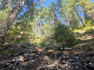
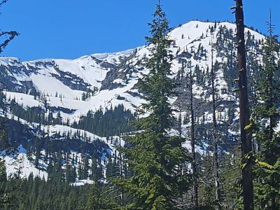
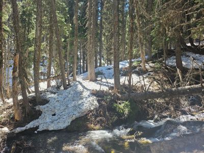
Evans Gulch: On Tuesday, Skye and I headed up over Thompson Pass to Montana to hike Evans Gulch trail #696 towards Evans Lake. I didn't think that we would make the lake, but wanted to at least make it to the last creek crossing and the steepest part of the trail. Normally, the 2 lower creek crossing are just a stepping stone event but on that day they were knee deep. Skye had a bit of difficulty with the second crossing as it was deep and swift; on the way back we found a better crossing upstream. The trail was in good shape with just a few deadfall blocking the trail. Much of the lower section of trail is an old road, most likely to an old mining claim. The tributory creeks were also running high but manageable. We really didn't get into a lot of snow until above 4500 feet. In the end we made it to the final creek crossing at 4800 feet before having lunch and turning around; it was all snow from there up the steep headwall to the lake. Maybe go back in a couple weeks when the snow melts off a bit more.
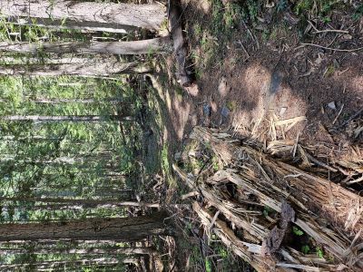


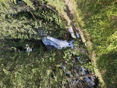
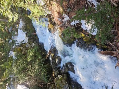
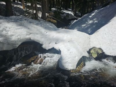
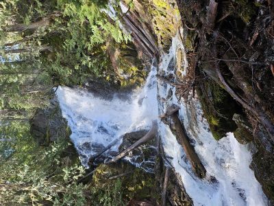
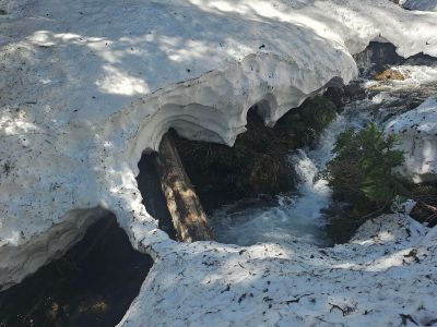
Ward Creek Falls: I hiked up Ward Creek on May 8th with the main goal to climb down to the base of the large falls you can see from the trail (at 1.25 mi) and possibly to Hazel Lake. I have hiked past these falls numerous times but never climbed down; today's the day. The climb down to the base of the falls is super steep with no trail but not far, less than 200 feet. It took me less time to climb out than down. I then continued up the trail towards Hazel Lake. I was surprised that I made it to over 5,000 feet before I got into continuous snow. The trail changed aspect and I went from 0 snow to 4 feet in a very short time. I made the creek crossing of the creek out of Hub Lake a 1/4 mile from Hazel, but decided that my 3 crossing choices (the log, wading or snow bridge upstream) would result in ending up in the creek involuntarily. Getting in or out of the creek with 4-5 feet of snow along the banks would be difficult. I did this hike last May (later in the month) when there was about half the snow and made it all the way into Hub Lake. The trail was in good shape with just a few logs across the trail. It was a nice day with great clear blue skies.