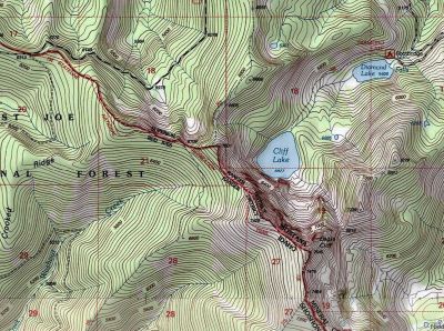
Getting There: Take the Dry Creek Road exit off I-90, about 5 miles West of Superior. Cross the railroad tracks on the Southside Highway (#69); after about 3/4 mile, hang a right on Dry Creek Road #342. Continue up Dry Creek Road #342 staying right at the fork to Diamond and Cliff Lakes to the Idaho / Montana state line, a total of about 18 miles.
 The trail takes off sharply to the left between the main and a gated road to the left just as you reach the state line; I believe there is a trail marker of some kind. There has been some logging operations in the past in this area. The trail starts out very mellow but soon begins to steadily climb for the next mile.
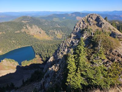
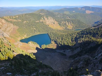
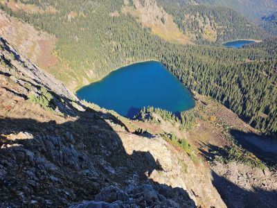
You will pass signed intersections for USFS trails #203 to Torino Peak & main Dry Creek Road on the Montana side; and trail #290 on the Idaho side. The trail flattens out a bit with some short rollers for the next 3/4 mile, passing through a wildfire burn. This will take you to the first good overlook of Cliff and Diamond Lakes, a good place to take a break.
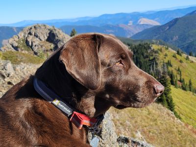
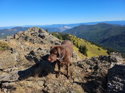
From that first overlook, the trail will quickly start climbing around the lower shoulder of Eagle Cliff Peak for 1/2 mile to the next good overlook of the same lakes on top of the stateline. There are goats on this peak so keep an eye for them; they are much shyer than those goats in the Trout Creek area. Skye and I saw a couple of them in the fall of 2025 as we were climbing the peak.
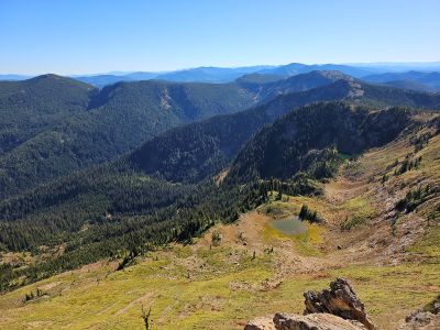
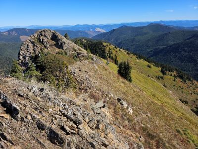
At this saddle, you can choose to hike stright up the ridge to the summit or continue on the trail. Hiking the ridge is easy going and you get a good view below the entire way. Staying on the trail around the right shoulder of Eagle Cliff Peak until you meet up with ridge again with a good view of a couple small tarns below and the main Dry Creek drainage spread out in the distance. It is a relatively short walk on a primitive trail, less than 150 feet of elevation, back up the ridge to the summit of Eagle Cliff Peak and its outstanding vistas.
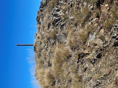
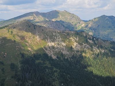
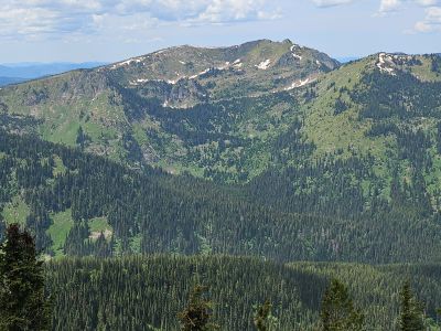
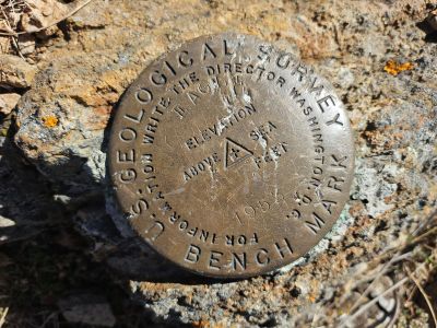
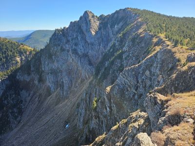
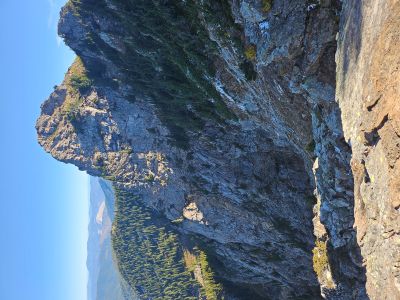
At the Summit: The summit has a USGS Benchmark imbedded in the rock and a state line marker in the center of a rock cairn. There are outstanding views all around with the main cliffs down to Cliff Lake dominating off the summit. To the north you can see all the way past Ward Peak. To the south are both Lost and Binocular Peaks with Illinois Peak off in the distance. The main Dry Creek drainage sits directly below with Hidden Lake barely visible. This is a relatively easy summit to get to and is worth the effort.