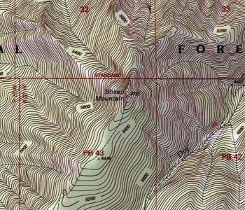
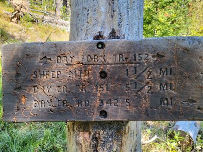
Getting There: Take the Dry Creek Road exit off I-90, about 5 miles West of Superior. Cross the railroad tracks on the Southside Highway (#69); after about 3/4 mile, hang a right on Dry Creek Road #342. Continue up Dry Creek Road for 2.1 miles where a marginal road leaves the main road to the left. There is signage for an old Elk enclosure. This is the start of trail #152. It is an old road but passable for a little more than a 1/2 mile and then then turns into a single track. There is a place to turn around and park.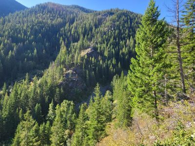 Trail #152 climbs moderately up the Dry Fork creek bottom for about 1.5 miles to the point you cross the creek. From the crossing the trail climbs relentlessly for the next 1.5 miles with a gain of around 1,500 feet before becoming moderate again after reconnecting with the upper reaches of Dry Fork creek. The trail follows the creek through an old burn area for another 1.5 miles until the signed intersection with the trail to Sheep Mountain. There can be some blowdown along this stretch.
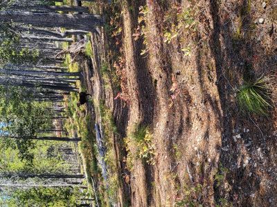
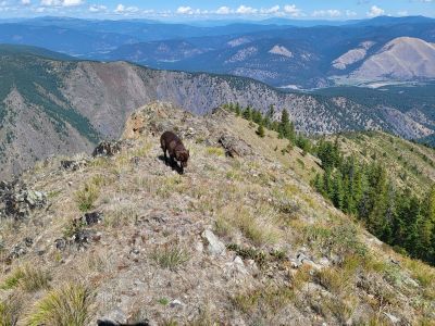
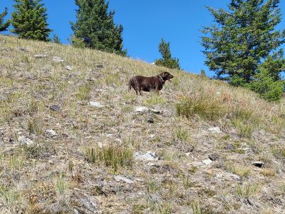
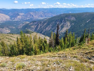
It is another dry 1.5 miles up the ridge to the summit, so make sure you have enough water. This is a very pleasant walk among the Lodgepole Pines on the ridgeline. There is little to no blowdown along this last remaining 1.5 miles.
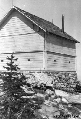
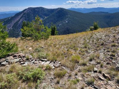
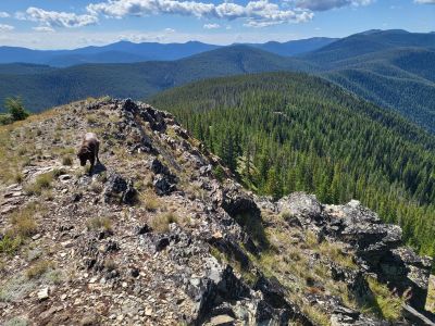
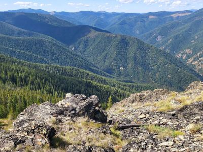
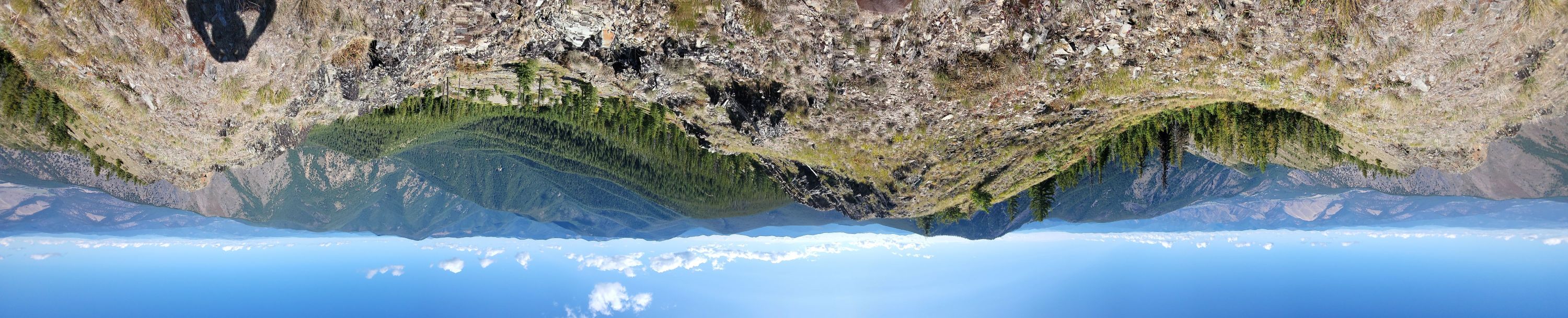
On the Summit: The summit offers an unobstructed 360-degree view of the surrounding area. There are good views of the Clark Fork Valley below and to the Ninemile Divide to the North. The Idaho / Montana state line is visible for miles to the South & West.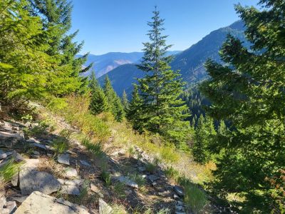 I would say that there isn't a grand vista as on many other peaks along the divide, but the summit still offers some very good views. You can see the Thompson Peak Lookout over by Superior just peaking above the shoulder of Blacktail Mountain to the East. There are still some remnants of the fire lookout cabin that was built in 1929, abandoned in 1946 and eventually destroyed in 1952.
 Even though I grew up in Superior, 2023 was only the second time I have been to the summit. When I was in my mid 20’s, working on a fire crew out of St. Regis, I decided one day to run to the top of Sheep Mtn and back after work. Took nothing with me, just drank out of the creek; you could do that back then. The round-trip time was a little over 3 hours covering 12 miles and 3,500 ft elevation gain, oh to be in that golden age.
The other time I was close but did not actually summit the mountain during the winter. In 1987, I completed a 3-day 2-night 12 mile plus ski trip up past Sheep Mountain, then along the ridgeline past Wilson Lake and eventually spending the second night at the Lost Creek Meadows.
The ridgeline between Sheep Mountain and Wilson Lake is flat and with the amount of fresh snow made navigation and skiing difficult. The vast bulk of the trip was either uphill and/or breaking trail. It was a hard couple days as there were no GPS or cell phones back then to help with navigation. I just knew not to drift to the right and get off the ridge into the Dry Creek drainage. Eventually tied into the logging roads that I used before on my motorcycle to go to Wilson Lake in the 1970's and made it down to the Lost Creek Meadows.