Getting There: At Superior, take Diamond Road east past the Town Pump Gas Station for 6 miles; passing the Bark mill and the Magone Ranches to the end of the pavement where the road changes to Trout Creek Road (#250).  Continue up Trout Creek Road for 15.75 miles to a sweeping left-hand corner. This corner is 1.75 miles up the road from the Heart Lake trailhead. The trailhead to trail #111 is on the inside of the corner and there is ample parking on the outside of the corner. There used to be a sign, but not sure if one still exists.
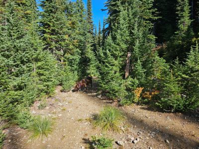
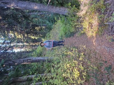
The trail is actually an old skid trail for past logging, so the trail does climb rather steeply (650 ft) for more than halfway to the junction with trail #111-A. The trail eventually levels off and in a mile you will get to the junction with trail #111-A that heads left down the hill to Hoodoo Lake.
**This sign is completely wrong.** You are actually at trail #111-A, not 1/2 mile away; and the milage to the stateline trail #738 is actually 1.5 miles, not the 2.5 miles on the sign. Head down the hill and Hoodoo Lake is less than 1/2 mile from the junction; the trail is an easy walk to the lake.
Getting There: The other option is to start at the Hoodoo Pass trailhead. Take the state line trail #738 south on the old road for 1/2 mile and turn left on trail #111 on a sharp right hand switchback. There is a broken off sign post leaning against a tree but no sign. If you miss the junction, the old road will soon convert to a single track that traverses around the hillside. Trail #111 basically traverses around the hillside for about 1/2 mile with very little elevation change, this is a very pleasant walk. There is year round spring just as you are reaching the ridgeline above Hoodoo Lake. The trail then descends down the ridge for 1/2 mile to the junction with trail #111-A.
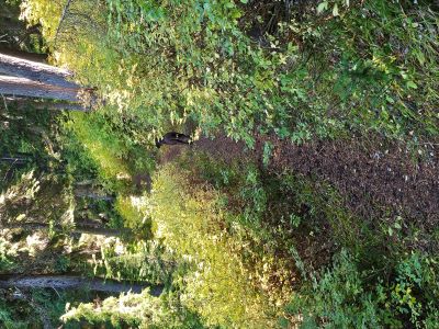
 **This sign is completely wrong.** You are actually at trail #111-A, not 1/2 mile away; and the milage to the stateline trail #738 is actually 1.0 miles, not the 2.5 miles on the sign. Head down the hill and Hoodoo Lake is less than 1/2 mile from the junction; the trail is an easy walk to the lake.
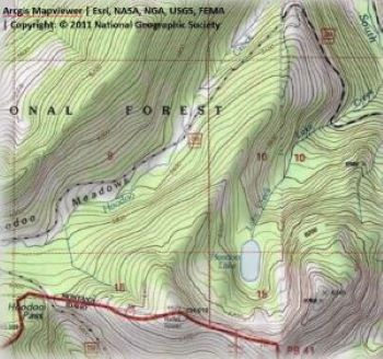
This route is about 1/2 mile longer than the than the route from the "Big" corner, but is not as steep. I didn't have any need to take a break on the way back to the Hoodoo Pass trailhead. Head down the hill and Hoodoo Lake is less than 1/2 mile from the junction; the trail is an easy walk to the lake. The topo map included here does not show the trails, but they are obvious and well used.
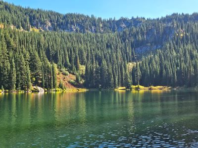
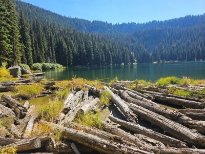
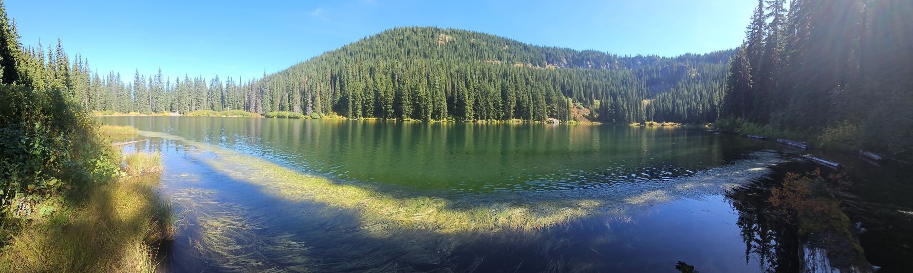
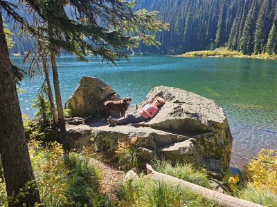
At the Lake: I have been into Hoodoo Lake in both the summer and winter. There is a camping site just above the lake as you arrive and another on the other side of the outlet that is partially covered by blowdown, I did not see any other site along the shoreline. I would assume most people just go into the lake for the day and do not camp. Brook Trout populate the lake and I remember the fishing being average. I have seen numerous risers the last couple times I have been to the lake. We didn’t go to this lake much as many other lakes along the state line were much better fishing. This is a kid-friendly lake and hike.