
Getting There: At the top of Thompson Pass trail #404 takes off just on the Montana side of the pass. There is an interpretive sign where the trail takes off from the parking lot. The trail starts flat as you walk on the remnants of an old road and along the old canal. The canal used to bring water from Montana to the mining activities on the Idaho side of the crest. It is about a mile of good walking and then you turn up the hill into a series of switchbacks. After a bit the trail lines out at a good grade for about 1.5 miles before you top out and drop down a grade for a bit before going uphill again; but not nearly at the same grade. 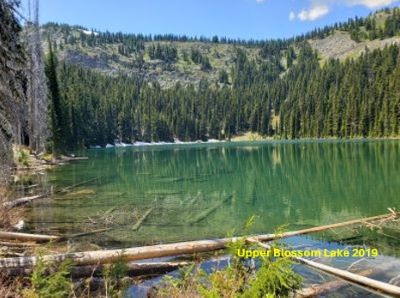
Except for a rocky outcrop and overlook, the entire trail is under the forest canopy and well shaded. There isn’t any water along the entire route until just before the lower lake, so bring enough water for yourself and your dog.
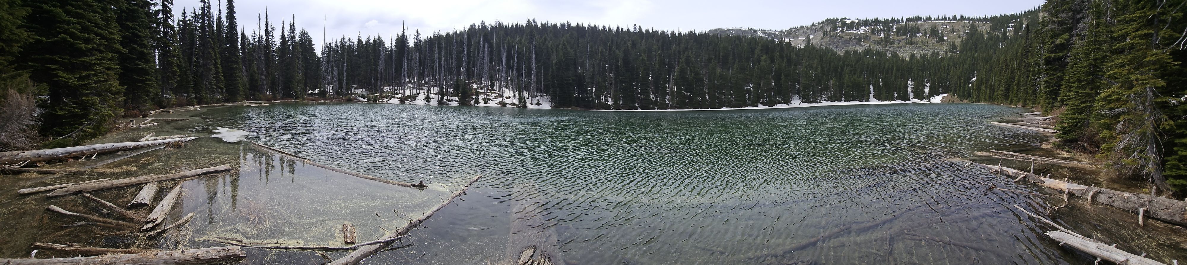
To reach the upper lake cross over the outlet and head along the lower lake on a good trail; still trail #404. The upper lake is about a mile of easy walking in the shade, stay to the right on trail #537 at the half mile mark where the left fork (trail #404) continues to Pear Lake and eventually the state line.
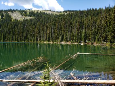
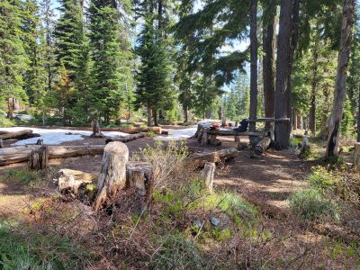
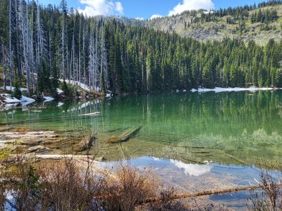
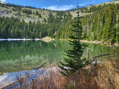
At the Lake: I found the fishing to be not nearly as good as the lower lake. The first couple times I fished at this lake the fish were of good size but not interested in my lures. The last couple times I have been to the upper lake I have not seen any fish either rising or along the shoreline. Camping at the upper lake is posh for the backcountry. There is a large camp that includes a makeshift table and several benches; and an outhouse made of tarps just north of the campsite. There is enough room here for multiple parties or a large one.