Getting There: 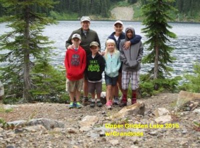 Head up past Burke towards Cooper Pass from Wallace, Idaho, stay on the main road #7623 on the right of the power station. At the top of the pass take the road to the right that goes up under the power lines. The trailhead is well marked with room for over 10 vehicles. It is about a mile to the lake on a very good and mostly level trail. The trail splits as you are almost to the lake; the left fork switchbacks back up the hill to the Idaho/Montana state line. Stay straight for a short distance to the lake.
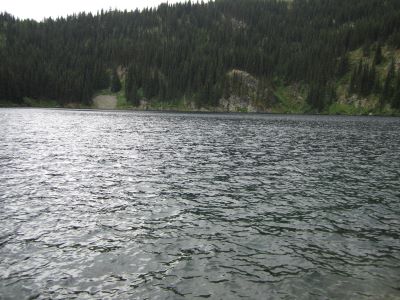
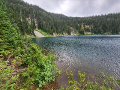
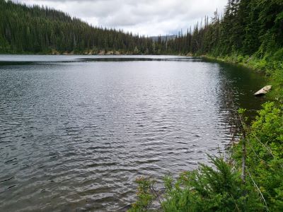
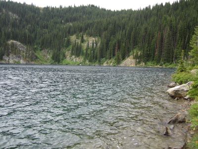
At the Lake: There are a couple campsites on either side of the outlet. There is a small campsite on the left/far side of the lake; a good choice if looking for a bit of privacy. I fished a little bit and there are mostly small fish less than 8 inches. This is a good lake to take the younger children to for an easy outing or first backpacking trip. In August the trail and road past the power station as huckleberries. The lake does get a lot of traffic so don’t expect any solitude while there.