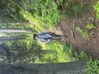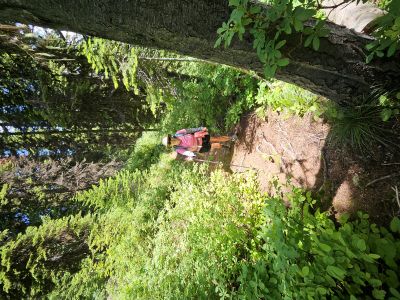
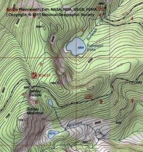
Getting There: Take the Fish Creek Exit on I-90 and proceed up Fish Creek Road #343, for approximately 16 miles and turn right on Surveyor Creek Road #7734. Continue on road #7734 for 8.5 miles, just past a sweeping switchback. The road can be very rough and rocky in places on the way to the trailhead. There is room for a half dozen rigs for parking at the trailhead. Trail #117 to Surveyor Lake is not signed but the trail is obvious going up the road cut. The distance to the lake is less than 1/2 mile.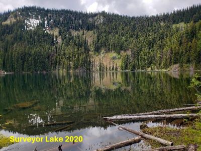
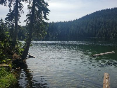
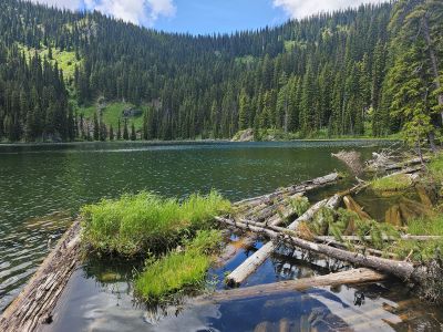
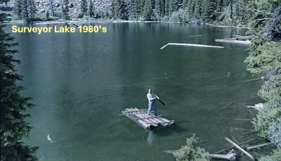
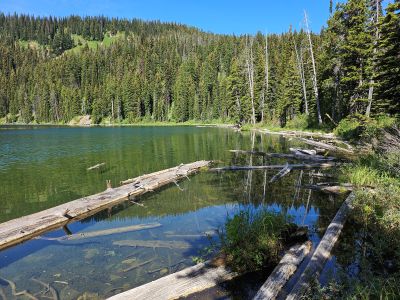
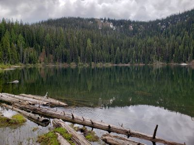
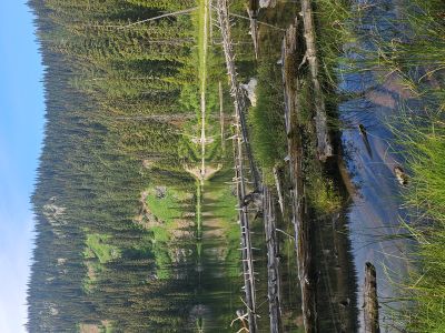
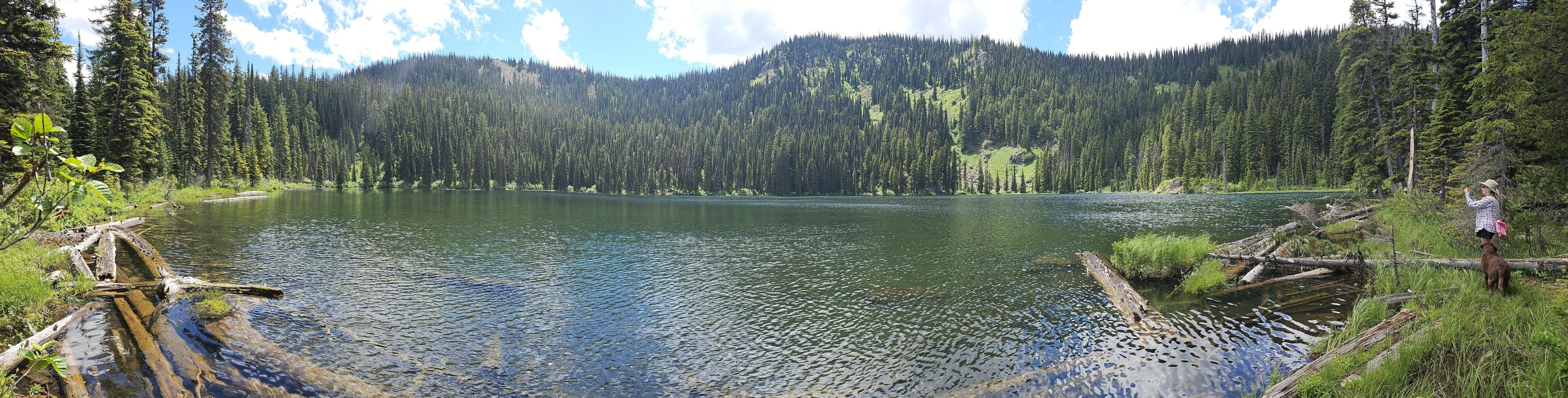
At the Lake: Surveyor Lake is of average size with a couple of small campsites around the shoreline. The fishing for cutthroat trout is hit and miss with the fish’s finicky feeding habits. The first time I went into the lake back in the mid 1970’s I could see schools of fish swim by and not even look at the lure passing just in front of them. I have done well fishing with flies when the fish are feeding under the logs close to shore.
The shoreline is difficult to get around because of the brush and swampy areas. If a person was serious about fishing, then they should bring in a small raft or float tube. The lake gets a lot of traffic due to its short distance from the road. Most people gravitate over to the rock outcrop to spend the day in the sun and fish. I have seen some old maps from the 30’s and 40’s that do not have the lake on the map.