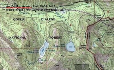
Getting There: From Wallace, head up past Burke towards Cooper Pass; stay on the main road #7623 on the right of the power station. There will be a road (#615) that angles off to the right about 3.25 miles from the substation. It is a little over a mile on road #615 to the lake. This road is very rough and rocky. Any pickup or SUV can navigate it, but I would not take a regular car that does not have much clearance. 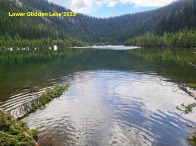
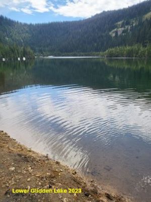
At the Lake: This is a drivable lake that has good access for over halfway around the lake with numerous campsites. I do not know if there are any vault toilets, but from what I recall all the campsites are primitive. It seems to be a bit swampy in places and I would bring a boat or float of some kind. Electric motors are only allowed I do believe. I am not sure how the fishing is, but it does get stocked multiple times during the year and there is a significant amount of fishing pressure.